 Steve Kidd Cycling Trips and Guides
 Steve Kidd Cycling Trips and Guides
On Friday 31st August 2001, Graham set off on his Raleigh Chloe bike from Morecambe. His three older siblings have all completed similar rides and so young four of four had a lot to live up too. The route selected was the best of the ones that the brother and sisters had completed, and the bike was modified with straight handlebars. It was usually kept in top gear (The smallest on the block) although Dad changed gears very occasionally. Two sleeping bags, a tent and money were the main items of luggage, with a small toolkit; cameras spare underwear, light clothes, kagools, cycle helmet cameras and maps making up the remainder of the payload. The whole lot went into a back pannier and a handlebar bag, apart from the tent, which conveniently sat on the top of the pannier.
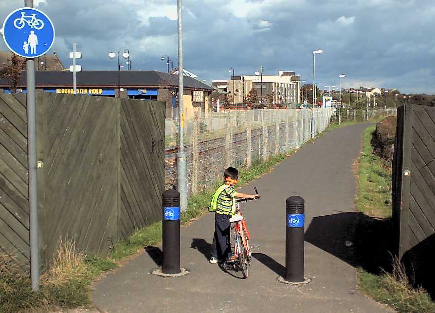 After the usual idiosyncrasies of privatised rail travel we finally got into Morecambe about 3:30 P.M. (there are trains direct to Morecambe from Leeds, and I would recommend you should sacrifice time for convenience and make as few changes as possible). The Donkeys and the sea were a must do and see respectively, along with a hot dog and a new pair of sunglasses, as modelled in this photo.
The Start of the cycle route is 400 meters from the sea front, right next to the station, and the route itself is FANTASTIC. Ten miles of well surfaced, direct, flat, traffic free cycling. The start speed was 8 kph, but the route gives plenty of time for confidence to grow and speed to develop.
There are loads of places to stop along the river Lune and so many people walking, cycling, wheelchairing, dossing and generally using this route you wonder why every town in the country hasn't got one. The people who made this route deserve medals.
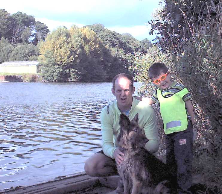
This picture is two kilometres east of Lancaster, and it's by Jaz. Jaz, I've forgot your dog's name, what is it?
There is 5 kilometres of bad road in terms of traffic once the cycle route has finished near Caton, but it's worth it. It might be an idea to use pavement sharing (are you listening councillors) as I didn't see a single pedestrian along that section.
Once off the main road and on to Ingleton, the route is good, and right from Crook of Lune the mountain of Ingleborough makes an impressive target, getting slightly larger and more distinct at the brow of each hill. Ingleton is a sweet village, with lots to do and buy, fish and chips, a youth hostel etc.
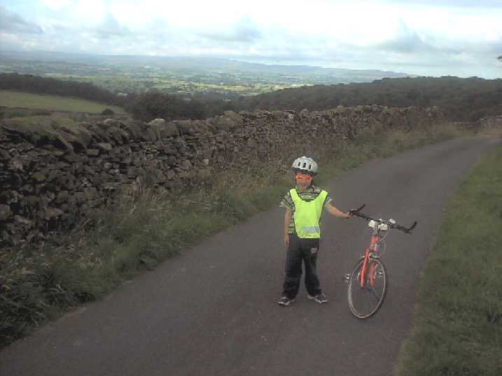 Graham made the climb up Beezley Hill after loading up with provisions, and we camped near the top
We were off just after ten, with the top of the ride ahead of us. The Beezley road is brilliant, apart from the cattle grids, with Twistleton Scar on the left, and Ingleborough and the river Greta on the Left.
From Chapel le Dale to Ribblehead could be quieter, but it's nice to see Whernside and the Viaduct. The Inn at Ribblehead makes a natural stop, if only to use the Loo with a view. (It doesn't open 'till 11a.m. though).
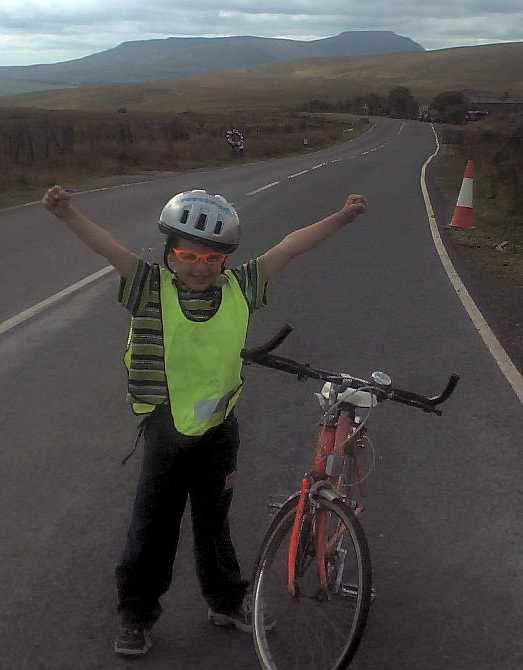 The climb up to Widdale head is remarkably well graded, and though long, we managed it with a rest at a stream. All of a sudden, within 24 hours of setting off your at 437 meters and it's all downhill.
It's quite poignant to be at the top, realise that it's goodbye to Ingleborough, The Lune Valley and the West coast, and ahead it's Wensleydale and the river Ure spilling out into North Yorkshire, which is practically home.
The ride from Widdale Head is mind blowing. Never ridiculously steep, it is nevertheless long, fast and impressive. We seemed to be steady at about 30 kph, and Graham was the most sensible, judicious user of the road imaginable. The only thing to look out for is the left turn that takes you to Appersett about 7 km from the top. Down this road you will pass underneath a disused (for the time being) railway bridge. 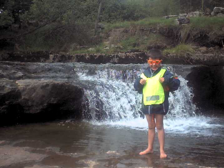 We stopped to look at the stream, which was clear, full of fish and great to explore.
Widdale Beck joins the river Ure, and it's a long, long undulating ride down Wensleydale (Why is it not called Uredale? All the others valleys are named after rivers, like Airedale, Wharfedale, Swaledale).
At the heart of the Yorkshire Dales this route is superb, on the north side of the river. There are steep little climbs here and there, but they are over in minutes, and the sections where you can just coast are innumerable. The first stop is at Hardraw, where you pay at the pub for a short walk up to Hardraw Force, a beautiful waterfall that has a claim to be the highest single drop in England. Askrigg may be the most picturesque of the little villages on this part of the route, but when are motorists going to realise that some people affected by their behaviour are not compensated adequately?
Aysgarth Falls, Castle Bolton, Wensley, Leyburn and Middleham are all on or near the route. You could spend a week doing this section, but we crossed the Ure for the last time at Ulshaw near to our campsite, after getting the vittles in at Middleham.
How come all the footpaths are closed for foot and mouth yet 14 stables in Middleham send their horses to several different racecourses each day, so they can mix with horses from every other rural area in England (and abroad)? The ways of country folk often puzzle me.
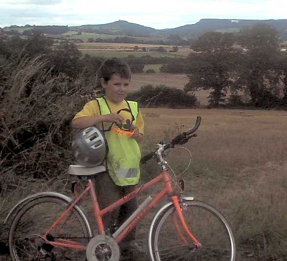
Bad navigation, bad sign posting and a blown out tyre on top of the Howardian Hills. This whole route is totally cool. Starting with a few undulations, either downhill or flat through quiet lanes and roads, ending up in the Howardian Hills, neglected by the tourist but better for it. The fun starts in the Afternoon with the climb into Husthwaite (You can see the White Horse near Sutton Bank in the picture).
On top of the Hills you can see clear to the Power stations near the M 62, and if anybody wants to take a mirror up to Emley moor or Pen y Ghent I bet you see those too.
We had the pleasure of walking the last eight miles into Hovingham, along straight roads through much forest.
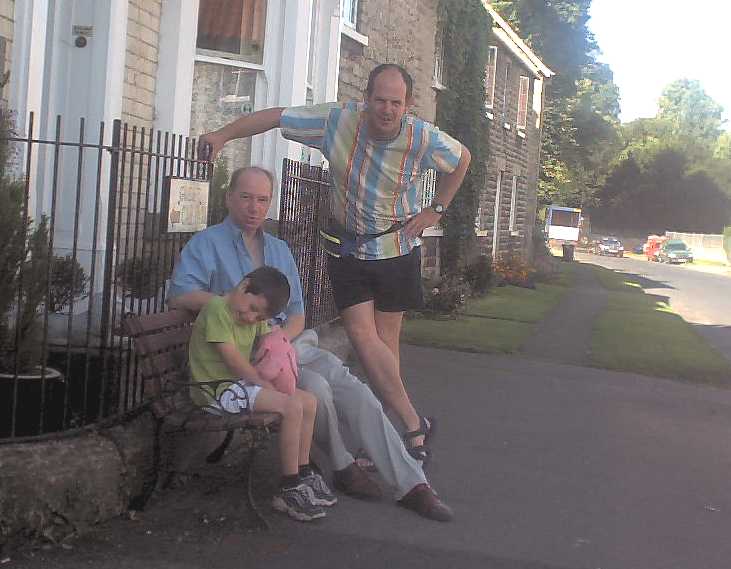 Day 4
Day 4The Sedgewick Guest house, Hovingham, was a welcome stop for us. Thanks Fred. It enabled me to find a tyre and tube in Kirkby Moorside, and filled us up for the trip to Flamingo Land, which took exactly one hour for the eighteen kilometres. The first bits boring and busy, but the last 10 k are a pleasure.
From Flamingo land the A 169 is horrible, but it's only 4 k to the best section of the whole journey, through the Marishes, heading straight towards Scarborough with the sun and wind at your back (usually), dead flat and ten kilometres.
Food from Costcutter at Snainton and the road to Scarborough. Can you believe some Jerk shouted to us "Ride on the pavement" Like I don't pay road tax?
A vital turn is the left at West Ayton, after the bridge, which takes you up Forge Valley. This road to Scarborough is not signposted (Thank god) and is a pleasurable, if undulating, finish. Keep your eyes on the map.
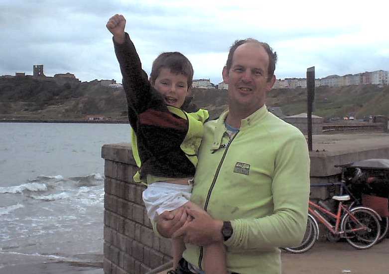
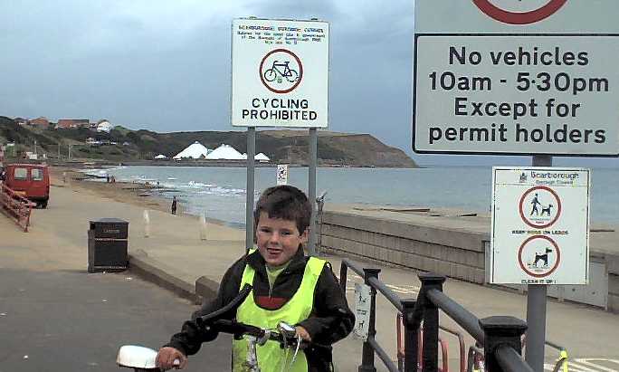 We could see the sea from which it was gentle pedalling and coasting through the suburbs of Scarborough to the North Bay. We love Scarborough, but we were too late for the best Waffles in the world and a donkey ride.
Of all the four children, Graham, perhaps because he is the youngest, seemed the least likely candidate to complete a c2c bike ride. Perhaps I was more experienced as a guide and a father, perhaps it's because I knew the route, but without doubt he completed it with the least hassle and most consummate expertise. I would say that the above factors were influential, but the major contributor was the man himself, who was constantly a boon companion, never complaining or crying (unlike me), never falling off apart from when stationary, generally smelling the roses and doing precisely what was asked of him. Starting out as a nervous and wobbly novice his strength, confidence and endurance rocketed in those four days. I would recommend this route to anybody with children (But let me know how you get on and PLEASE BE CAREFUL)
If you are a novice, carrying a lot of stuff or with children, and are contemplating a coast to coast bike ride in England, you have done yourself the biggest favour possible by logging on here.
The official c2c route from Whitehaven to Sunderland is, I consider, a little challenging for someone not prepared (see here for an explanation)
If you want to alter this to suit yourself, go ahead. I have concentrated on one route. This route is challenging, but achievable for inexperienced cyclists or those who wish to smell the flowers on the way! A young person can complete it in fine weather. I am not responsible for anything. Interesting diversions include The Waterfalls (Ingleton), Hardraw force, Hawes, Jervaulx Abbey, Flamingo Land, Pickering, etc
This is brief, to enable quick download and convenience of carriage. Get used to the format. The route is broken up into sections, each section given a paragraph the top line of which contains:-
Total distance travelled * Distance of section * Start of Section * Directions to take at start of and along section * Finish of section * Quality of section expressed as a mark out of ten.
The text beneath the top line of section paragraphs indicate extra directions ("Look Out For" = LOF), information ("Comments" = C) and places of interest ("Visit Recommended" = V) These other abbreviations are used k= kilometers, m = meters, L = Left, S = Straight on, R = Right
Distances are in kilometers unless stated
Starting in Morecambe, go to the seaside first (about 300m from the station)
0 * 13k * Morecambe station * East * A 638, near Caton * 8/10
LOF: Crossings (first 2k), and hang left after the millennium bridge in Lancaster (5). Near Caton, shimmy on to the right hand track when faced with a choice after a farm crossing.(10). Follow to fence.
C: Best cycle route in England. If not for a couple of hiccups this would score a perfect 10. Great Start
V: The Beach, Morecambe (0), Lancaster (5)
13 * 5k * A 638 near Caton * L * B 6480 * 7/10
LOF: Cars. Follow the A 638 East until you get to the Wray (B 6480) turnoff at the top of a rise
C: One of the worst sections, traffic - wise. Just get it over with.
18 * 6k * A 638 * R * Wennington * 7/10
LOF: Follow the B 6450, through Wennington.1k from the village look for the L turn to "Ingleton 5 miles"
C: The first portion is still a bit busy, but the views of Ingleborough and the picturesque surroundings compensate
24 * 5k * Near Wennington * L * Fourlands Hill * 7/10
LOF: Second Crossroads (Ingleton signposted again)
C: The first big hill comes almost immediately. Once breasted it's a Roller Coaster ride, fairly straight, pretty and exhilarating.
29 * 4k * Fourlands Hill * L, 400m R * Ingleton A 65 * 7/10
LOF: The road forking almost immediately. Take the R to Ingleton and follow your nose
C: Some steep sections, but no monsters
33 * 1k * Ingleton A 65 * R, 200m L, 200m L * Ingleton River Greta * 5/10
LOF: Head toward village, but just. You need to start from the valley bottom
C: Stock up and enjoy!. For the Youth Hostel don't turn down to the valley bottom, but continue just through the center and turn L (Signposted)
V: Ingleton, The Waterfalls, Chip Shop. Etc
33 * 7k * Ingleton River Greta * R * Chapel le dale * 7/10
LOF: Cattle Grids (6)
C: The steepest part of the trip is the first 2k. Walk. An alternative route is along the main B6255. Less cattle grids, loads more traffic.
40 * 19k * Chapel le dale * L, 16k L, 2k L * Past Appersett * 7/10
LOF: The L turn to Appersett after 16 k and left on to the A 684 at the end of the run. Cross two bridges to the Hardraw turnoff.
C: In nice weather it's a peach of a ride, well graded, with views of the three peaks, Ribblehead viaduct and Widdale. You can go Via Hawes (see map) but this involves climbing and a diversion for Hardraw Force
V: Ribblehead, the pub, stop at the highest point on the route at Widdale head, and the pools on Widdale beck near the end of the section beneath the old railway arches
59 * 11k * Near Appersett * L * Askrigg * 7/10
LOF: Naked ladies. Unlikely that you'll spot any, but you never know.
C: Beautiful ride.
V: Hardraw Force, "The highest waterfall in England" You can pay at the pub.(2k)
70 * 17k * Askrigg * R * Wensley * 7/10
LOF: Follow signs to Leyburn, until you get to Wensley and the A 684
C: No finer way to visit Wensleydale
V: Aysgarth Falls (signposted R after 6 k.) Short, steep diversion
From here to Scarborough there are many routes, all of them valid. This is fairly direct and reasonably quiet.
87 * 7k * Wensley * R, 250m L, 2.5 k R, 2 k L * Ulshaw * 5/10
LOF:
Follow signs to Middleham, turn left at the village cross. Cross river near Pub.
V:
Middleham, Pub, Fish & Chips, Castle.
94 * 9k * Ulshaw * R, 2 k R * Thirn X roads * 6/10
LOF:
The turn is just after the river bridge . Follow signs to and through Thornton Steward and continue straight until before Thornton Watless (After Thirn).
103 * 4k * Thirn X roads * R, 1.5 k L, 2 k R * B 6267 * 6/10
LOF:
Follow the B 6268 at the last turn (a lot of roads converge there)
107 * 5k * B6267 * L * near Thornborough * 7/10
LOF:
Follow the road, but be careful not to turn off it prematurely. You need to leave it at a sharp LH bend after the 1st Thornborough turn off.
C:
Big wide straight mainly downhill. Set up your record 5 k speed here.
112 * 4k * Near Thornborough * R, 150m L, 3.5 k L, 500m * Wath (church) * 6/10
LOF:
Signposts to Wath and Melmerby. After church turn..
C:
If petrol is such an expense for country folk how come they all drive 4 x 4 's?
116 * 3k * Wath (near church) * R, 1.5k R, 500m L * A1 * 6/10
LOF:
After Melmerby village the sign says "No access to A1 South". Please be careful crossing the A1. This is the bit where you are most likely to die.
119 * 6k * A1 * S, 4.5km L * Topcliffe * 5/10
LOF:
Cross A 61 and follow signs to Topcliffe
C:
The food was pricey but marvellous
125 * 6k * Topcliffe * S, 1k R, 2K R * Little Hutton * 6/10
LOF:
At Dalton Village turn RIGHT (Another misleading sign sends you left)
131 * 9k * Little Hutton * L, 1.5k R, * Husthwaite * 6/10
LOF:
Big climb into Husthwaite. At the Junction take 'Malton Road'
140 * 15k * Husthwaite * L, 3k R, 3.5k L, 7k R, 7.5k L * Hovingham * 6/10
LOF:
Only turn R then 1st L when going straight is not an option.
C:
Great Views from the top of the Howardian Hills ((2 k)
V:
Bed & Breakfast in Hovingham & Pub for a plate of Home made chips for 90p.
155 * 6k * Hovingham * R * Barton Le Street * 7/10
LOF:
Follow B 1257 (Malton) road
C:
A busy road. Gentle gradients and straight, by now it won't take you long
155 * 6k * Hovingham * R * Barton Le Street * 7/10
LOF:
Follow B 1257 (Malton) road
C:
A busy road. Gentle gradients and straight, by now it won't take you long
161 * 7.5k * Barton Le Street * L, 4k L, 4.5k R, 7k R * Great Barugh * 7/10
LOF:
Don't go down the Butterwick Village only road (4k)
C:
Lovely ride, quiet, flat, pastoral.
168.5 * 3.5k * Great Barugh * L, 100m R, 1.4 k R * Kirkby Misperton * 6/10
LOF:
Signposts to Kirkby Misperton. Benson the Sea-Lion
V:
Flamingo Land (3.2k)
172 * 6k * Kirkby Misperton * L, 2.5k R * A 169/Marishes * 5/10
LOF:
Follow signs to Malton initially. Once on the main road A 169, its the Third left
178 * 10k * A 169/Marishes * L * Near Yeddingham * 9/10
188 * 4k * Near Yeddingham * S, 2k R * A 170 Snainton * 7/10
LOF:
Follow signs to Snainton
192 * 9k * A 170 Snainton * R * A 170 East Ayton * 7/10
LOF:
Follow A 170 'till you cross the river at Ayton.
201 * 8k * East Ayton * L, 3k R * A 171 Barrowcliffe * 6/10
LOF:
Initial sign to Forge Valley and the turn to Throxenby at 3k.The Sea
C:
This route to Scarborough cuts out 5k of busy road and 100m of climb
209 * 3.5k * A 171 Barrowcliffe * L, 700m R, 1.5k R, 1k L * Coast * 6/10
C:
Well Done
V:
The Waffle shop, Peasholme park, The Beach, Sea Life Centre
Turn right and ride 2.5k along the promenade and past the harbour. Turn right up the steep hill and through the precinct at the end of which you will find the station after another 1k. Total Distance 216 k. There is a quicker way to the station, but is there a quicker or better coast to coast route?
You really should invest in Ordnance Survey Maps 'cos they're the best in the world. The maps on this site are obviously copied from them (So sue me), but there is no substitute for the real thing. (that was written back in the days before satnav, but you know, as of 2010 it still holds true for me at least) Hopefully you might keep yours in pristine condition. Print these, then you can write on them and chuck 'em. I've put them on two separate sheets for printing. Use colour, high quality, landscape, and don't forget to minimise the sizes of your margins and expand each image to fill an A4 size paper (right click and 'view image' or something like that).
 .
.
